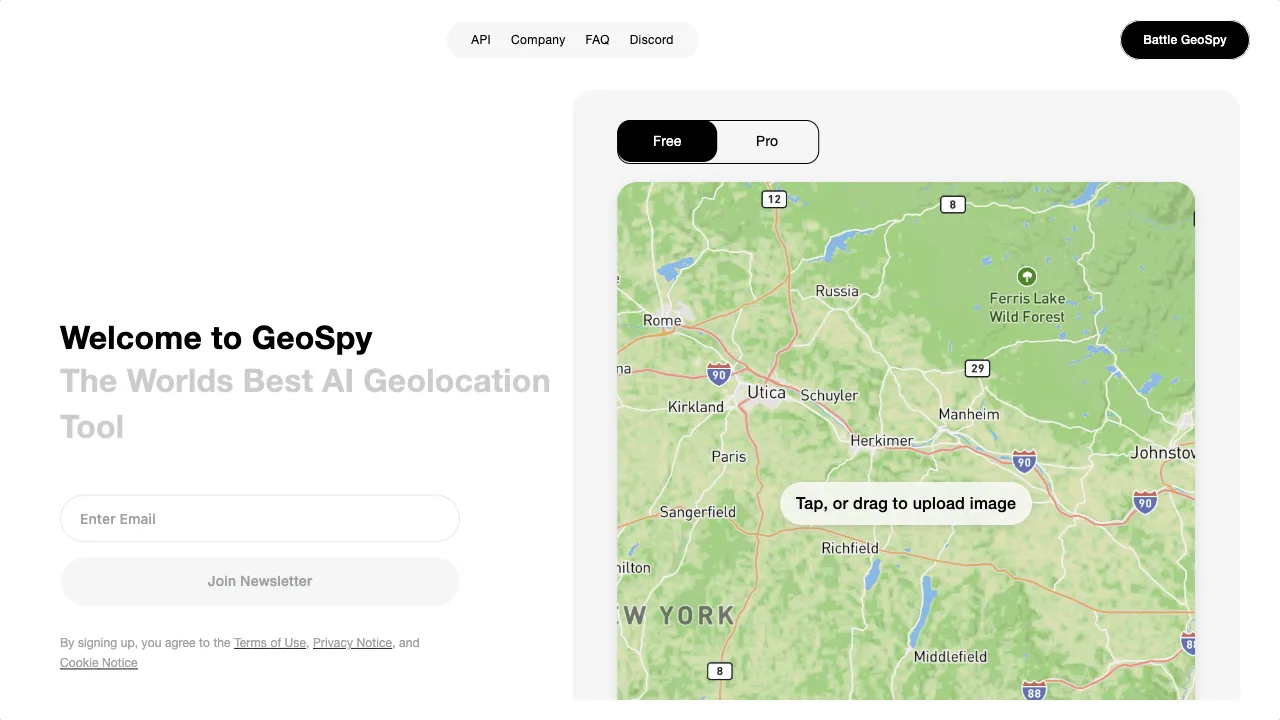
क्या है GeoSpy AI?
GeoSpy AI is a cutting-edge tool that utilizes artificial intelligence to analyze images and determine their geographical locations. By employing advanced algorithms, it can extract unique features from photographs and match them against a vast database, providing insights that are invaluable for law enforcement, journalism, and environmental research. The platform features data visualization tools, an API for developers, and a user-friendly interface that allows easy image uploads. GeoSpy AI is versatile, finding applications in various fields, and is designed to enhance investigative capabilities by revealing hidden details within images. As it continues to evolve, it promises to deliver even greater accuracy and functionality for its users.
GeoSpy AI ट्रैफिक एनालिटिक्स
GeoSpy AI मासिक विजिट
GeoSpy AI शीर्ष विजिट किए गए देश
GeoSpy AI शीर्ष कीवर्ड्स
GeoSpy AI वेबसाइट ट्रैफिक स्रोत
GeoSpy AI विशेषताएँ
Advanced Geolocation Algorithms
GeoSpy AI employs cutting-edge AI algorithms to accurately pinpoint the location of images. This capability is crucial for various professional fields, including law enforcement and journalism.
Data Visualization
The platform offers various data visualization tools, such as heatmaps and 3D models, which help users interpret and communicate spatial data effectively. This feature is particularly useful for urban planners and environmental researchers.
API Access
Developers can integrate GeoSpy AI’s functionalities into their applications through a user-friendly API, priced at $0.01 per request. This feature expands the tool's usability across different platforms and projects.
User-Friendly Interface
The platform is designed for accessibility, allowing users to upload images easily and receive geolocation estimates without requiring extensive technical knowledge.
Collaboration Features
GeoSpy AI supports project sharing and collaboration, enabling teams to work together efficiently on investigations or research projects.
GeoSpy AI फायदे
High Accuracy
GeoSpy AI utilizes advanced algorithms that can accurately identify well-known locations, making it a powerful tool for investigations.
Free Version Available
The platform offers a free version for users to experiment with its features, making it accessible to a broader audience.
Comprehensive Data Visualization
The inclusion of heatmaps and 3D models enhances the understanding of spatial data, which is beneficial for various professional applications.
GeoSpy AI नुकसान
Beta Version Limitations
As GeoSpy AI is still in beta, users may encounter occasional inaccuracies or limitations in functionality. The tool's performance may improve over time as it evolves.
Accuracy Variability
The accuracy of geolocation estimates can vary based on image quality and the availability of relevant data in the database. Users should be aware that results are estimations rather than guaranteed locations.
Potential Privacy Concerns
The use of geolocation technology raises ethical considerations regarding privacy, as users may inadvertently expose sensitive location information.
उपयोग कैसे करें GeoSpy AI
Step 1: Access the Website
Navigate to geospy.ai using a web browser on your computer or mobile device.
Step 2: Upload an Image
Users can drag and drop an image file onto the webpage or select a photo from their device’s storage.
Step 3: Receive Geolocation Estimates
After processing the image, GeoSpy AI will provide an estimated location based on the analysis of visual clues and its database comparisons.
Step 4: Explore Results
Users can view the results, which may include geographical coordinates, visual representations, and additional insights about the location.
कौन उपयोग कर रहा है GeoSpy AI
Law Enforcement
Assisting in criminal investigations by geolocating images related to crime scenes or suspects.
Journalism
Helping journalists verify the authenticity of images and their locations, which is crucial for accurate reporting.
Environmental Research
Monitoring changes in specific geographic areas over time by analyzing images from different periods.
Travel and Tourism
Enabling travel agencies to create engaging content by geolocating images and providing accurate information about destinations.
General Use and Entertainment
Allowing individuals to explore and discover the locations of their personal images, making it a fun and educational tool.
टिप्पणियाँ
"GeoSpy AI has changed the way I approach my research. The accuracy is impressive!"
"I love how easy it is to use. The interface is very user-friendly."
"As a journalist, this tool has been invaluable in verifying image locations."
संदर्भ
- [4] Fireintel - Geolocation Revolutionized.URL:https://fireintel.medium.com/geolocation-revolutionized-geospy-ais-cutting-edge-technology-890416aefddd
GeoSpy AI विकल्प
Advanced platform for anomaly detection and data analysis.
एक अभिनव भर्ती प्लेटफार्म जो भर्ती के लिए AI का उपयोग करता है।
एक अभिनव AI उपकरण डिजिटल सामग्री निर्माण के लिए।
AI-powered job search platform for job seekers.
AI एजेंट बनाने और स्वामित्व करने के लिए एक अभिनव प्लेटफ़ॉर्म।
An AI-powered document management tool for efficient analysis.
एक उन्नत ढांचा जो बड़े भाषा मॉडल को बेहतर बनाता है।
AI उपकरणों और सेवाओं के लिए एक व्यापक निर्देशिका।
एक शक्तिशाली नेटवर्क इंटेलिजेंस प्लेटफॉर्म ट्रैफ़िक प्रबंधन के लिए।
एक अभिनव मानचित्रण प्लेटफ़ॉर्म जो उपयोगकर्ताओं के लिए विश्व स्तर पर उपलब्ध है।
AI-powered career development platform for job seekers.
एक हाइब्रिड सर्च इंजन जो Google और ChatGPT को मिलाता है।
एक AI-संचालित प्लेटफ़ॉर्म जो रिज़्यूमे और कवर लेटर ऑप्टिमाइज़ेशन के लिए है।
एक नवोन्मेषी AI सहायक प्लेटफ़ॉर्म डेटा विश्लेषण के लिए।
AI इमेज डिटेक्शन सेवाओं के लिए उन्नत मंच।
AI अनुप्रयोगों के निर्माण के लिए एक उपकरण।